

Turn Your Job Site Into a Living Digital Twin
Capture, Measure, and Manage your projects Remotely with high-precision 2D maps, 3D models, and Virtual Walkthroughs.
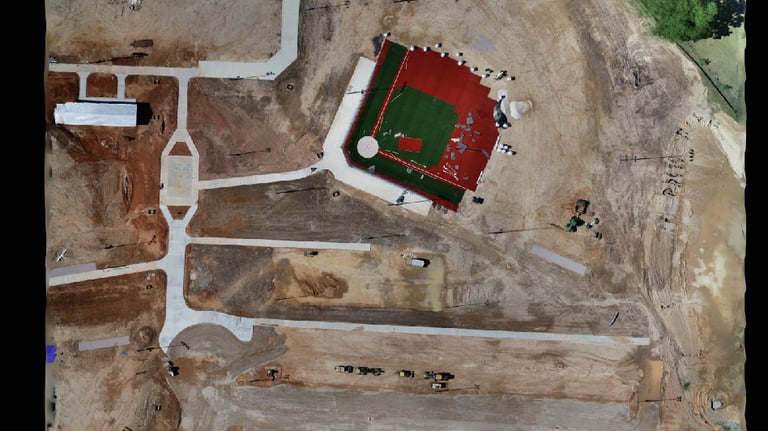
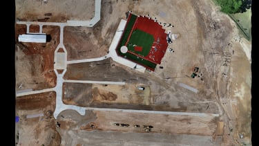
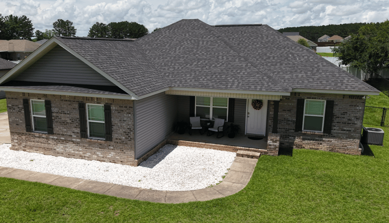
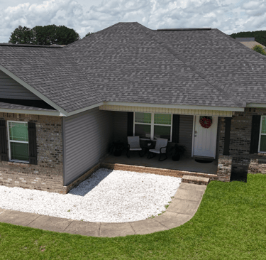
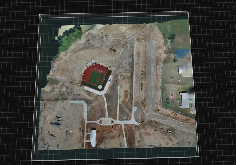
Detailed 2D maps from high-resolution aerial footage.
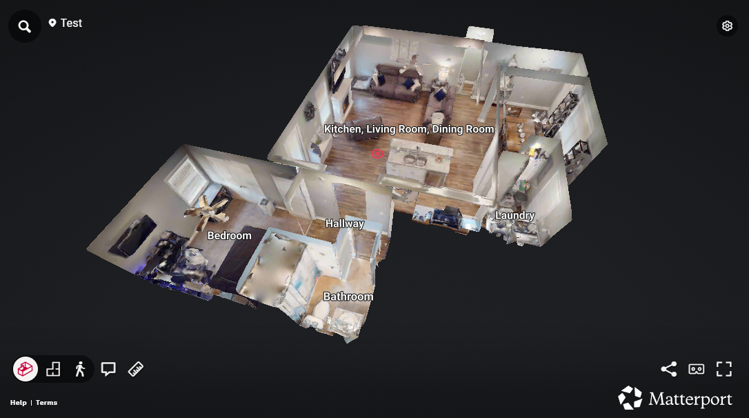
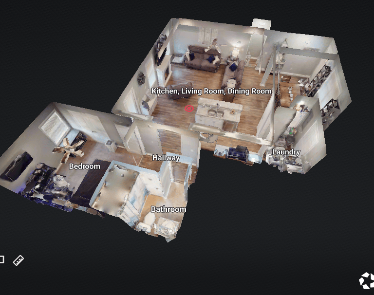
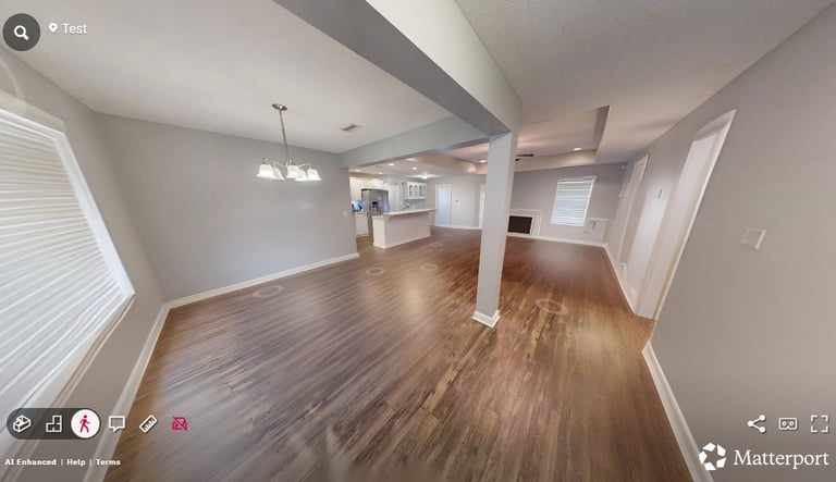
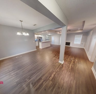
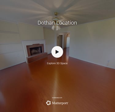
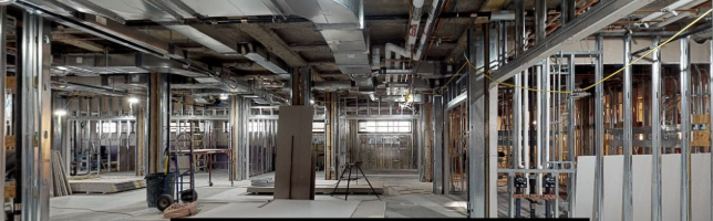
Virtual walkthroughs that bring your site to life.

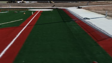
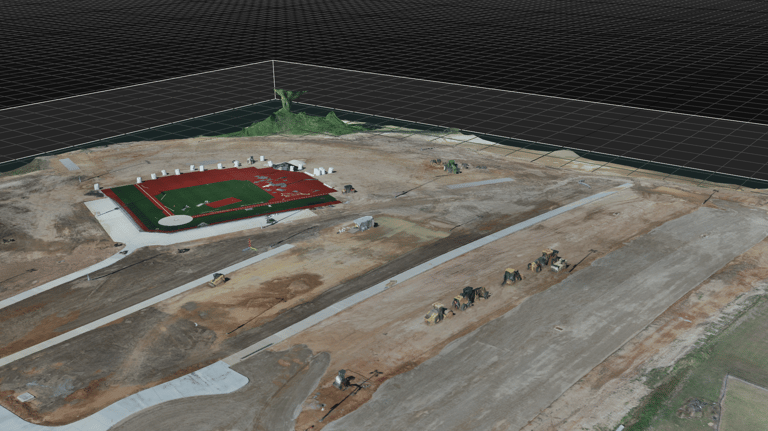

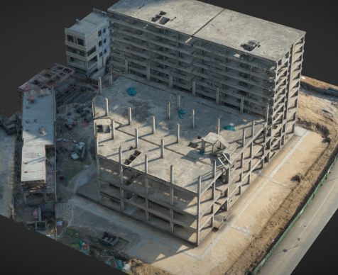
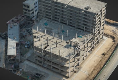
3D models allow inspection from every angle.
What is a Digital Twin?
A digital twin is a complete, interactive replica of your real-world environment.
When updated regularly,
A Digital Twin provides the Insight you need to Manage your site Remotely.
We combine Aerial Imaging, Mapping, Modeling, and Walkthrough Technology into one Powerful system.
A Game Changer for managing Build Sites Remotely.
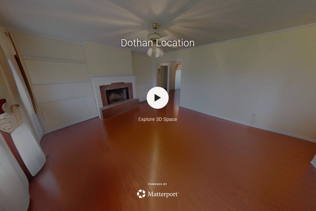
Click Here for a Virtual Real Estate Tour
Our Services
Precision aerial footage, 3D models, and virtual walkthroughs tailored for your needs.
2D Maps
Detailed aerial images transformed into accurate 2D maps perfect for construction planning.

3D Models
Realistic 3D models that bring your projects to life, helping visualize every angle and detail.
Ideal for real estate and industrial sites needing precise digital twins for analysis.
Virtual Tours
Request a Quote
Provide some information about your site and expectations.