Our Work

Aerial views and digital twins in action
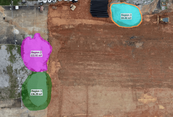
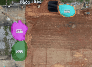
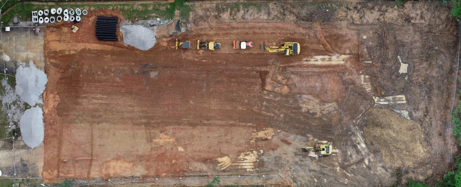
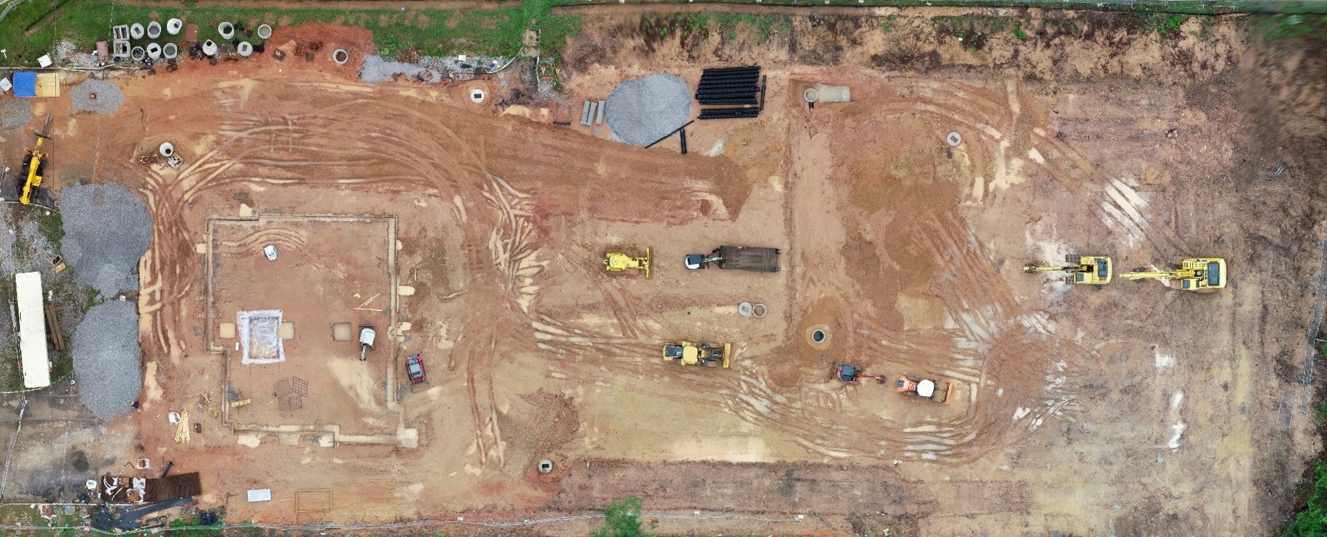
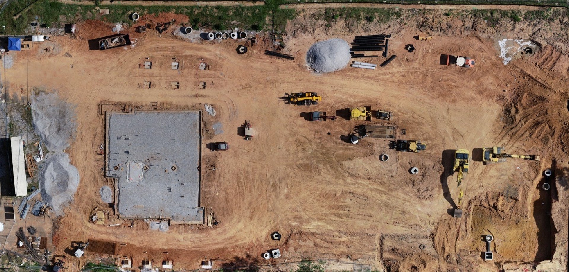
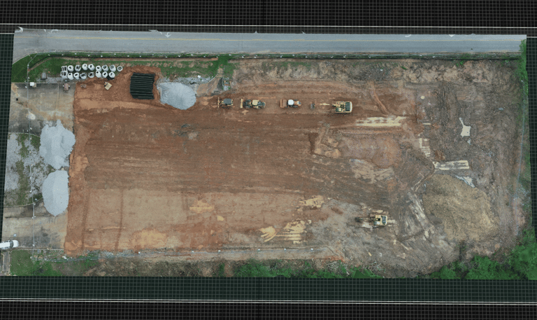
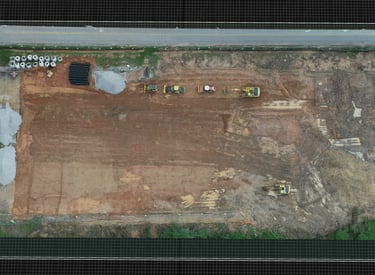
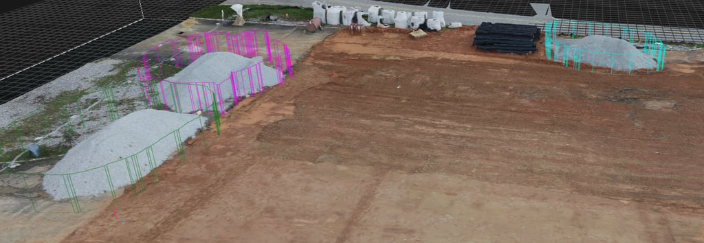
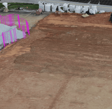
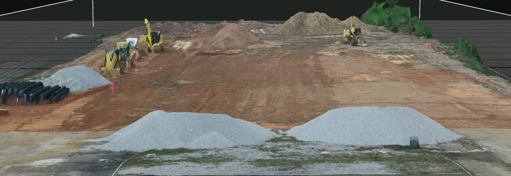
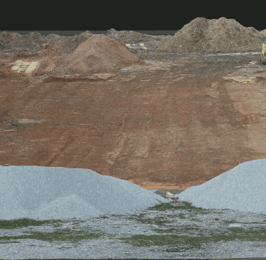
Construction

3D models helping track project progress

Real Estate

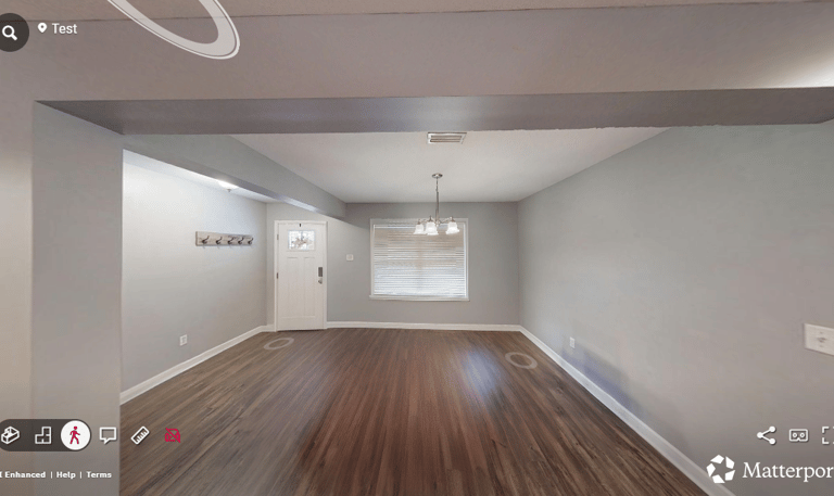
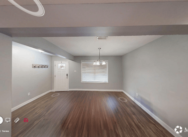
Immersive tours for potential buyers

Aerial map overlay showing insurance claim zones after storm damage
Insurance

Accurate damage assessments from above

Commercial

Track your project from start to finish

Gallery

Snapshots of our aerial mapping and virtual walkthrough projects

About Branton Aerial

We capture aerial footage to build detailed 2D maps and 3D models tailored for construction and real estate.

Drone flying over a construction site capturing aerial footage during golden hour.
Close-up of a digital twin 3D model displayed on a tablet screen at a construction site.
Virtual walkthrough of a commercial property shown on a laptop with a person navigating the interface.

Our Mission

To provide precise digital twins and virtual walkthroughs that help clients visualize and manage their projects efficiently.

Request a Quote

Provide some information about your site and expectations.

Contact

Reach out for tailored aerial solutions.

Email

Phone

Fbranton@brantonair.com

+1-657-457-2872

© 2025. All rights reserved.