We are Branton Air !
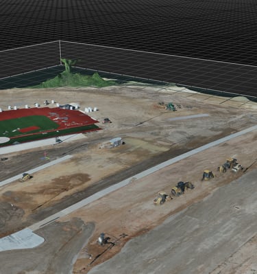
We specialize in aerial footage to craft detailed 2D maps and immersive 3D models tailored for your projects.
Our Expertise
Who We Serve
From construction to real estate and municipal needs, we create digital twins that bring your spaces to life.
Request a Quote
Provide some information about your site and expectations.
Our Services
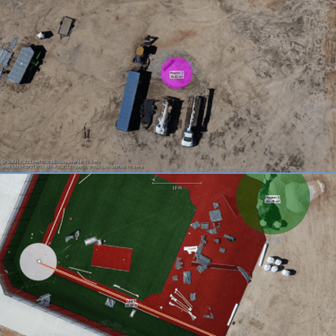
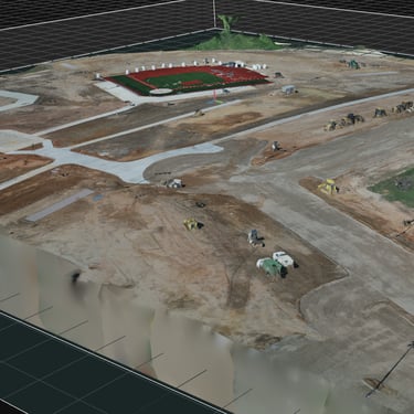
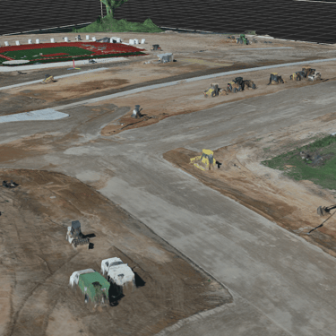
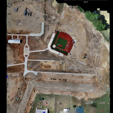
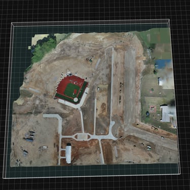
Precision aerial maps, 3D models, and virtual walkthroughs tailored for your industry.
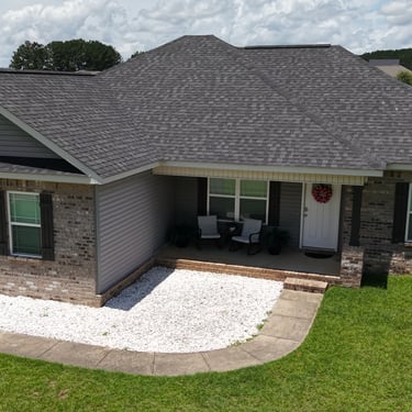
Construction
Track progress and plan with accurate 3D models and digital twins.
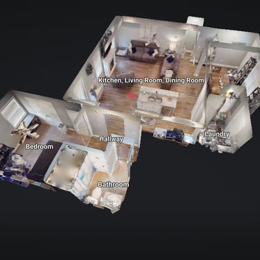
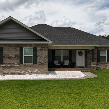
Real Estate
Showcase properties with immersive virtual tours and detailed maps.
Support Insurance Claims with Precise Aerial Inspections and Documentation.
Insurance
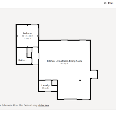
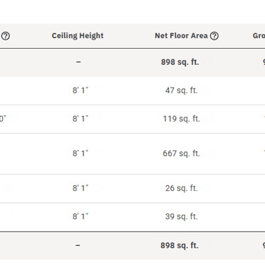
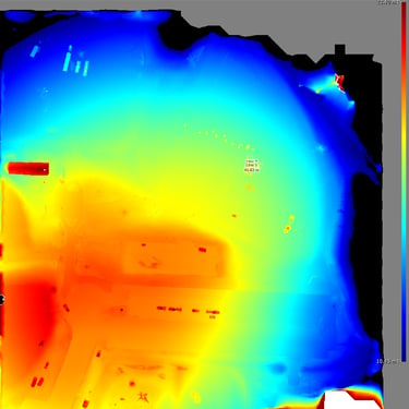

Gradients, Elevation,
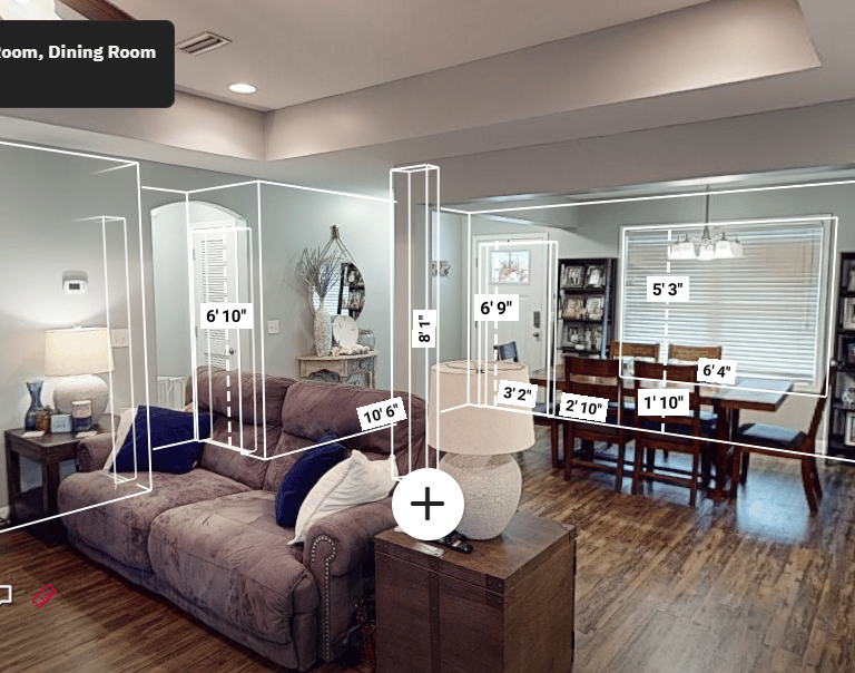
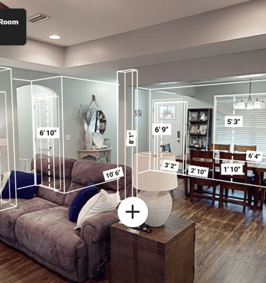
Distance, Area, and Volume Measurements.
Identify Hazards, Track Deliveries, Increase Productivity and Decrease Liability.
Storm Damage, Roof Damage and All Other Property Damage.
Protect your Assets with Regular Inspections and Documentation Before the Storm Hits.
Great Features
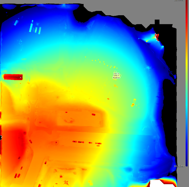
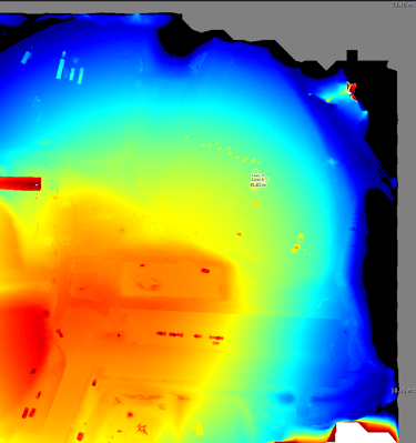

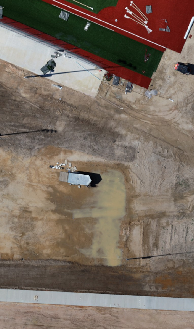
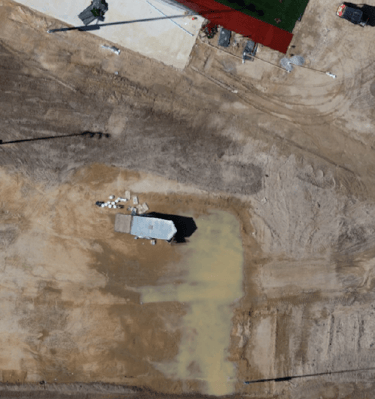
Elevation & Slope
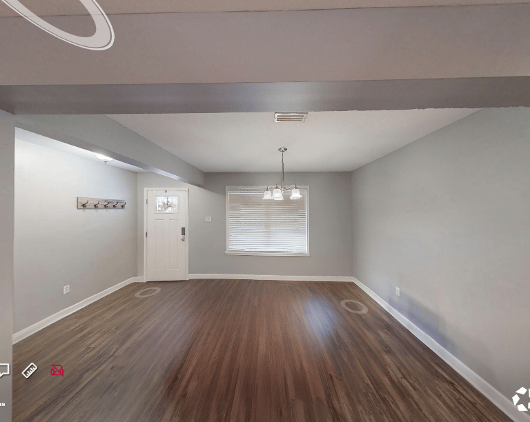
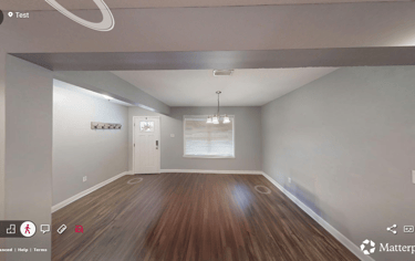
Interactive 3D Models
Identify Hazards and Eliminate Work Stoppage.
Interior Measurements. Great for Remodeling.
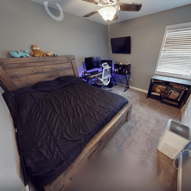
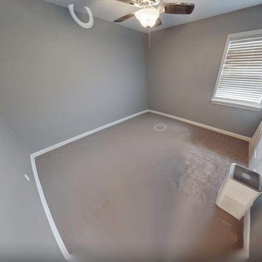
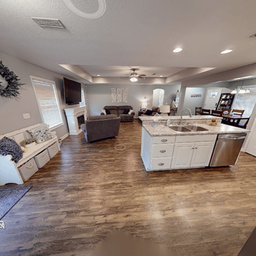
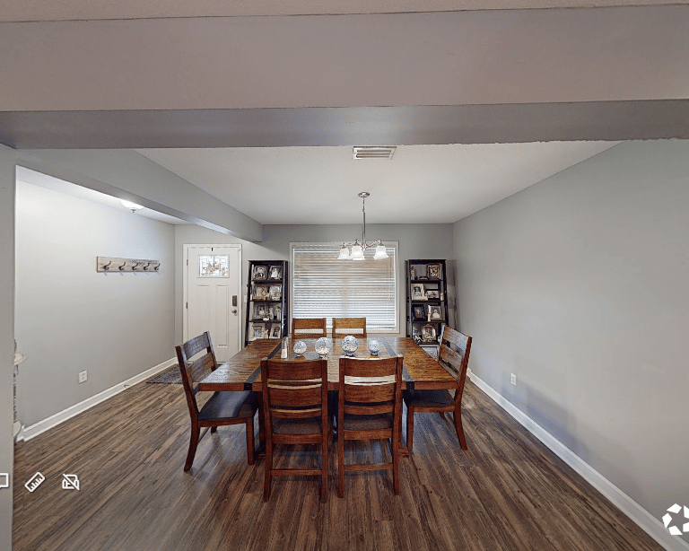
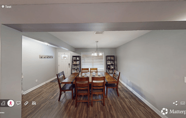
Beautiful Virtual Tours
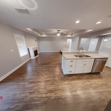
Clutter and Personal Items Removed with Ai.
Request a Quote
Provide some information about your site and expectations.